
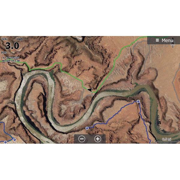

This SD card includes high-definition aerial imagery of trails for use in your Lowrance HDS or Elite GPS system.
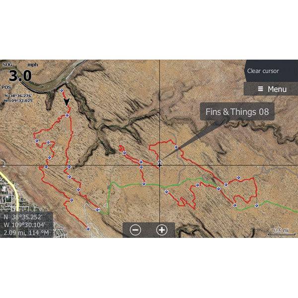
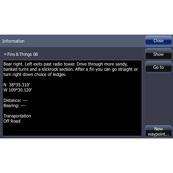
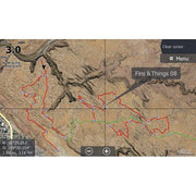
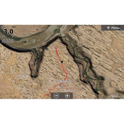
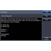
Maps include Trailhead information, waypoint details and trail traces for 55 different trails, including Strike Ravine, Fins and Things, and many more!
Trail List:
|
|
Instructions
- Insert the card and if asked "Do you wish to change chart data selection to view inserted charts" Select yes.
- To change your GPS settings to show the satellite imagery on the HDS Live, Press Menu, Select More Options, Select Chart Options, Select Chart Detail, select Full. Select Photo Overlay and Select Full.
- When you change the map to be the satellite imagery - it is only reading that map. Your normal background mapping is not visible, only the area with the satellite imagery. To switch in between the two on the HDS Live, Press Menu, Select More Options, Select Chart Source. "C-MAP US..." is the factory map, "Lowrance" is usually the satellite imagery map.
Click here for downloadable instructions